
OUR EDITORIAL APPROACH
A clearer sense
of the connections.
Tourism Fajardo is an independent guide to Fajardo, eastern Puerto Rico. We connect town, waterfront, conservation landscape and practical choices without speaking for an operator or public agency.

How this guide is made
We use primary visitor, conservation, municipal and transport sources for factual context. Editorial suggestions are identified as ways to think about a visit. Changing access, availability and booking terms belong to the relevant organization or provider.
We do not invent contributors, interviews, residence or first-hand visits. Community and conservation organizations speak through their own linked accounts. Credited photographs do not imply their creators endorse this website.
Places remain distinct
Fajardo is on Puerto Rico’s mainland. Ceiba’s ferry terminal, Culebra, Vieques and Laguna Grande are not interchangeable labels. We name a photograph’s actual location and distinguish historical scenes from current planning information.
Independence and providers
This is not an official tourism authority, ferry service, conservation organization or activity operator. Third parties control any supplied listings and booking arrangements. Some external links may earn a commission.
For a correction, see the current contact route.
Image credits
- Las Croabas, historical coastal view — Stan Shebs, 2004-01. CC BY-SA 3.0. Historical photograph; cropped and resized.
- Las Croabas, historical portrait crop — Stan Shebs, 2004-01. CC BY-SA 3.0. Historical photograph; cropped and resized.
- Red mangrove forest, Cabezas de San Juan — Boricuaeddie, 2008-01-23. CC BY-SA 3.0. cropped and resized.
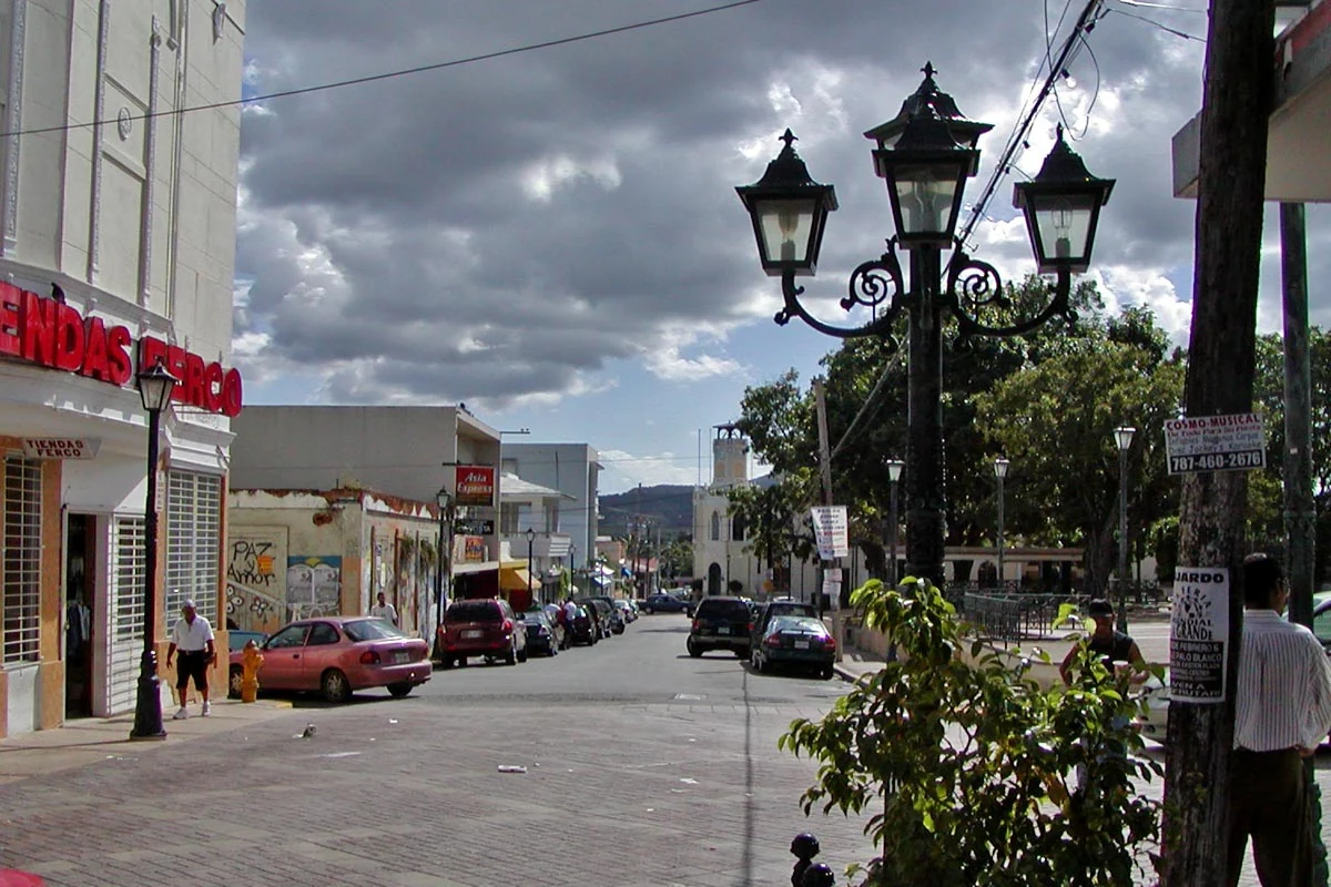
- Fajardo town street, historical portrait — Stan Shebs, 2004-01. CC BY-SA 3.0. Historical photograph; cropped and resized.
- Las Croabas in January 2004 — Stan Shebs, 2004-01. CC BY-SA 3.0. Historical photograph; resized.
- Mangroves at Cabezas de San Juan — Boricuaeddie, 2008-01-23. CC BY-SA 3.0. resized.
- Pier at Cabezas, Fajardo — AI R, 2016-04-12. CC BY-SA 2.0. resized.
- Ensenada Yegua shoreline and historical reserve sign — Eric Lanning, 2009-02-24. CC BY 2.0. Historical photograph; resized.
- Fajardo street near the plaza, January 2004 — Stan Shebs, 2004-01. CC BY-SA 3.0. Historical photograph; resized.
- Coastal foliage at Ensenada Yegua, detail — Eric Lanning, 2009-02-24. CC BY 2.0. Historical photograph; cropped and resized.


